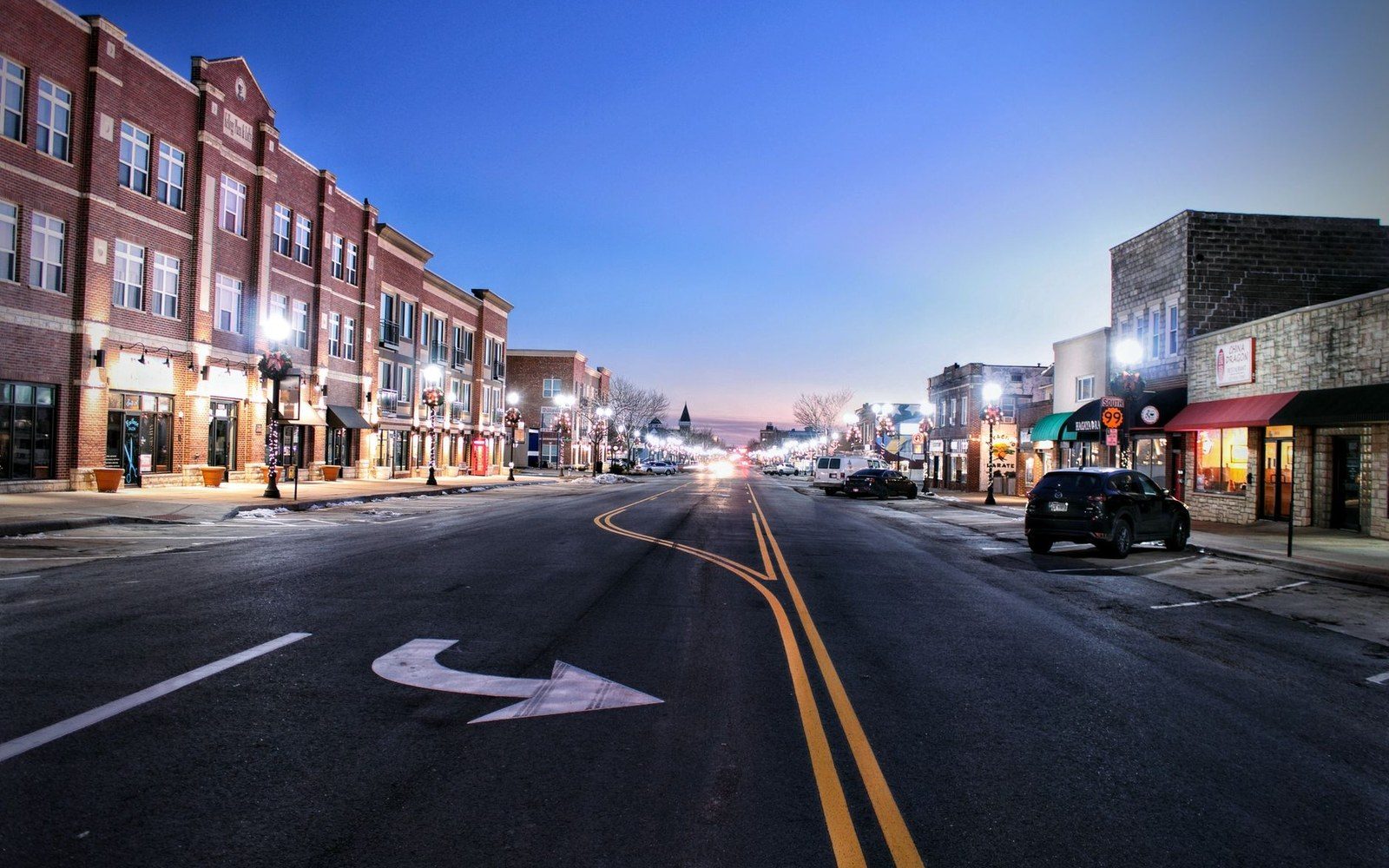
Washburn sits on the Missouri River bluff above the old floodplain, and it earns its place as McLean County's seat not just through administrative habit but through geography. The town looks south toward the river and east toward open prairie, and the combination of courthouse, main street, and genuine history makes it the most useful single stop in the county for a traveler trying to understand what this place actually is.
The approach from U.S. Highway 83 — the main artery running north from Bismarck toward Minot — drops you into a compact downtown that doesn't announce itself loudly. A grain elevator marks the horizon before the buildings do, and the streets are quiet in the way that small county seats on the northern plains tend to be: not abandoned, just unhurried. The courthouse stands near the center of town, a solid presence that signals genuine administrative weight. Washburn functions, which is something not every small town in central North Dakota can claim without qualification.
Fort Mandan and the Lewis and Clark Interpretive Center
What draws most visitors to Washburn specifically is the history, and the history here is real and substantial. A few miles west of town, the Lewis and Clark Interpretive Center and the reconstructed Fort Mandan occupy ground close to where the Corps of Discovery spent the winter of 1804–1805 — the longest single stop of the entire expedition. The captains and their crew built a triangular log fort here after meeting the Mandan and Hidatsa villagers who lived in large earthlodge communities along the Missouri. They stayed through one of the harshest winters on the northern plains, traded, gathered intelligence about the country ahead, and hired Toussaint Charbonneau and his wife Sacagawea as interpreters before heading west in the spring.
The Interpretive Center handles this story without inflation. The exhibits work through the journals, the geography, the science the corps was tasked to document, and — critically — the Mandan and Hidatsa context that made the wintering possible in the first place. The reconstruction of Fort Mandan itself is modest and honest: a working sense of what it meant to winter in a log enclosure on the upper Missouri, rather than a monument to the expedition's celebrity. Both are worth your time, and together they occupy a solid two hours without strain.
That winter connects directly to the deeper history of the river corridor. The Mandan, Hidatsa, and later the Arikara had built their villages on the Missouri for centuries before the corps arrived. Their earthlodge communities were agricultural settlements of real sophistication — not campsites but towns, with trade networks that extended across the continent. Washburn is close enough to that history that understanding it here, before driving further north or west, changes how you read the landscape for the rest of your time in the county.
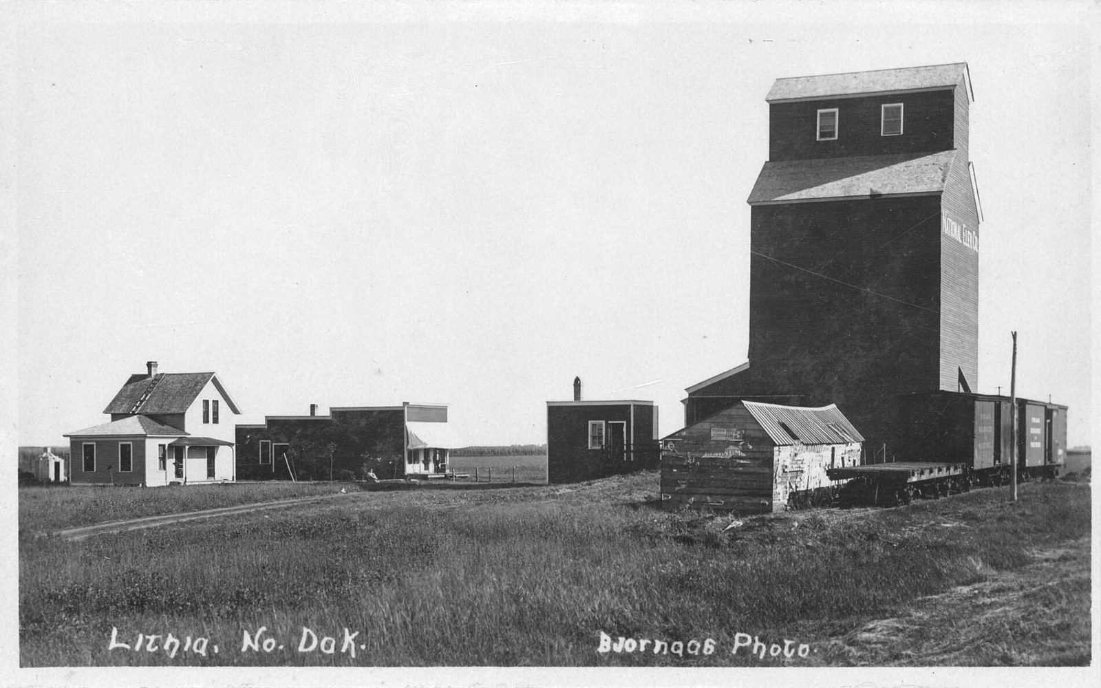
The town itself
Back in Washburn proper, the town repays a brief walk. The main street block has the working texture of a county seat: a hardware store, a few cafes, local services that exist because people actually need them rather than because a downtown-revitalization committee wished them into existence. That's rarer than it sounds. The McLean County Museum of History is here too — a local collection that holds the kind of material that doesn't migrate to state institutions, the photographs and implements and records that belong to this specific place. Small museums on the northern plains often surprise visitors who expect thin collections; this one is genuinely informative about the county's farming and ranching history.
The Missouri is a presence even when you can't see it. The bluff geography means the river sits below and to the south, but the light and the humidity and the quality of the air are all shaped by proximity to water. From certain spots near the edge of town you can look down toward the bottomland timber and understand why this location made sense as a settlement: it commanded the river crossing and the bench above the floodplain at once.
Using Washburn as a base
For a traveler planning a few days in McLean County, Washburn is a reasonable anchor. It sits roughly in the middle of the county's east-west spread, which means a night here puts you within comfortable driving distance of Fort Stevenson State Park to the west, the Audubon National Wildlife Refuge to the northwest, Cross Ranch to the south, and the open prairie roads that run east into pothole country. The town has basic services — fuel, food, lodging — in the practical sense that matters when you're planning actual movement through the landscape rather than theoretical itineraries.
What Washburn doesn't do is perform itself for tourists. There's no manufactured attraction pulling people off the highway. What it has instead is function, history that stands up to scrutiny, and a position on the river and the map that rewards attention. For a county whose character takes some reading, that's a better starting point than a town that announces itself loudly and delivers less.
How it happened
- 1804–1805Corps of Discovery winters at Fort Mandan near Washburn
- Spring 1805corps departs west; Sacagawea joins as interpreter