Where to Stop Between Bismarck and Minot
US 83 runs straight, but the interesting things are just off it
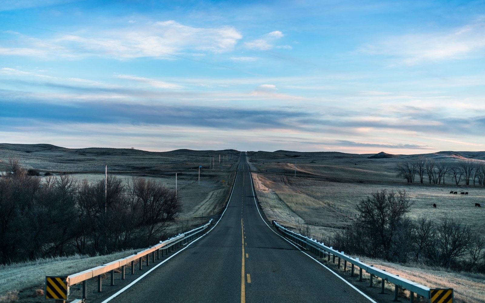
US 83 north from Bismarck to Minot is one of those roads that works so well as a route that most people never treat it as a destination. Under two hours, give or take, on a four-lane highway through open prairie — you can absolutely do it without stopping. But if you have a morning to spend, or even just ninety minutes, a handful of exits between the two cities will show you things worth seeing, and the detours stack neatly rather than pulling you in opposite directions.
The honest version: to stop at everything described here, you will add roughly an hour to the drive, maybe a bit more. Pick the stops that match your interest, not all of them.1 The route described below runs north from Bismarck in the order you encounter things.
The first stop: Washburn and the river history
Cross into McLean County on US 83 and you are in Washburn inside of an hour from Bismarck — a small, unhurried county seat sitting on a bluff above the Missouri River. It does not announce itself dramatically, but it earns a stop.
The Lewis and Clark Interpretive Center is on the south edge of town, positioned to look toward the bottomlands where the Corps of Discovery spent the winter of 1804–05. The exhibits are substantive rather than celebratory: the expedition is placed in the full context of the Missouri River villages already here — the Mandan and Hidatsa earthlodge towns that were among the largest settlements on the continent at the time. Fort Mandan, the expedition's reconstructed wintering post, sits nearby in the river bottom. You can walk through it, get a sense of the scale and the cold logic of the construction, and be back on the highway in under an hour.
What Washburn adds, if you slow down far enough to notice, is context for everything else on the drive. The Missouri you see from the bluff is the post-dam river — slower, colder, clearer than the river Lewis and Clark camped beside — but the bend and the bottomland cottonwoods are still there, and the distant hills are the same.
The dam and what it made
A drive west of Washburn on ND 200, then north through Riverdale, is the Garrison Dam — a structure that most people who live near it still underestimate until they see it. It is one of the largest earthen dams in the United States, and standing at the overlook, the math of it becomes physical rather than abstract: this much dirt, compacted and stacked, holding back a reservoir that stretches nearly two hundred miles to the west.
The dam created Lake Sakakawea, and the lake fundamentally reorganized what this county looks like. The towns visible from the water — Garrison to the north, Coleharbor to the south — exist in their current form partly because the reservoir brought recreation infrastructure that replaced what the rising water took. Riverdale, the small government town just upstream of the dam, was built specifically to house the workers who constructed it. It still has the look of a planned company town: orderly streets, modest houses, a layout that does not quite match any organic small-town pattern.
You do not need to linger long here to absorb what the dam did.2 An overlook stop and a slow drive through Riverdale takes twenty minutes. It is worth those twenty minutes because everything else you see in the county — the marinas, the wildlife refuge, the rerouted towns — follows from this one structure.
The refuge loop: Audubon
South and east of Garrison, between US 83 and the Missouri arm of the lake, is the Audubon National Wildlife Refuge. The refuge was established to offset some of what the dam's reservoir eliminated — flooded wetlands replaced, to the extent possible, by managed habitat. Whether it fully compensates is a long argument; what it offers the casual visitor is unambiguous.
The driving loop through the refuge is one of the most accessible pieces of wildlife viewing in the county. In migration season, waterfowl numbers on the potholes and wetland cells can be startling — not because the place is spectacular in any manicured way, but because the birds are simply there, close to the road, not particularly alarmed. White pelicans, Canada geese, a dozen duck species, the occasional tundra swan. Shorebirds in the wet margins. Bald eagles working the open water when the ice is out.
Even outside peak migration, the refuge road is a reliable place to see the prairie pothole landscape in compressed form: a series of glacial depressions, some holding water year-round, some seasonal, surrounded by native grass. It is not a long drive — you can complete the loop in under an hour — and it connects to Lake Audubon, a smaller reservoir on the refuge's eastern edge, without requiring any backtracking to pick up US 83 again.
Garrison: the lake town
Garrison sits on a rise above the lake's south shore and serves as the functional hub for everything water-related on this part of Sakakawea. It is a real working town — a grocery store, a few restaurants, a hardware store — not a resort in any manicured sense, but genuinely oriented toward the water in a way that most towns this size and this far inland are not.
The walleye statue at the edge of town is the reliable orientation marker, visible from the main road and roughly the size of a small car. It signals that this is a fishing town first, and everything else follows from that. The marina infrastructure here is substantial: boat ramps, slips, the kind of small-engine mechanics and bait operations that service a working fishery rather than a vacation economy.
For the through-traveler who is not fishing, Garrison is a good place to stop for food, stretch your legs, and actually look at the lake, which is not always visible from US 83 itself. The view from the marina area on a clear day, with the open water extending to the southwest, makes the scale of the reservoir comprehensible in a way that maps and dam-overlook signs do not.
The back way: ND 1804 along the water
If you have time and no hard deadline in Minot, consider leaving US 83 after Garrison and taking ND 1804 north. The road follows the eastern shore of the reservoir's upper arm, then rejoins US 83 through the small towns on the way toward the Mercer County line. It is slower — two lanes, sometimes oil-surface gravel transition, grain trucks in harvest season — and it runs through Coleharbor and past Fort Stevenson State Park before curving back toward the highway.
Fort Stevenson occupies a point where the dam's backwater sits open to the horizon in three directions. There was a real fort here, a Missouri River military post, now well underwater. The state park exists on higher ground nearby, and the site's appeal is straightforward: a clean, open lakeshore with that almost-coastal feeling that a large reservoir in prairie country creates. Even a twenty-minute walk down to the water makes the stop worthwhile.
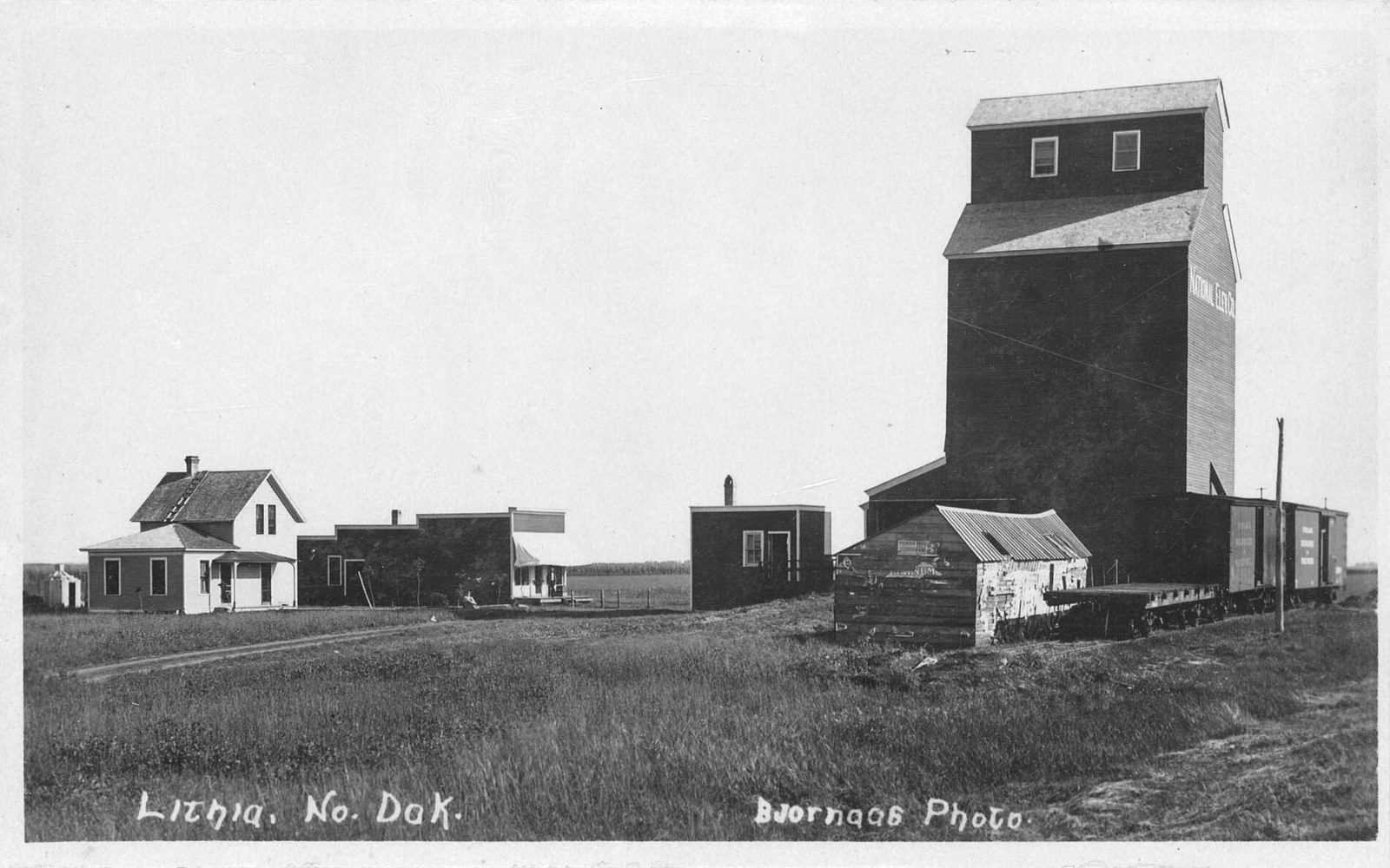
Coleharbor, a few miles south, is one of those small towns that repays a slow drive through without demanding a long stop. The grain elevators still anchor the skyline in the way that the elevators do throughout the county — readable from a distance, orienting you before the town proper comes into view.
Putting it together
The logic of this drive is not that you must see everything — it is that the stops are spaced in a way that lets you pick your depth. Washburn for history. The dam overlook for scale. The refuge loop for wildlife. Garrison for the lake itself and a meal. ND 1804 and Fort Stevenson if you want the water, not just a glimpse of it.
If you have a morning, you can do the Washburn stops and the refuge loop without feeling rushed. If you have only an hour to add to the drive, the dam overlook plus Garrison is the most efficient version: you see what the dam made and you stand next to the water it made. Everything else is addition, not correction.
The highway will get you to Minot just fine. The stops are for when you want to know something about the country you drove through.3
How it happened
- 1804–05Lewis and Clark Corps of Discovery winters near present-day Washburn
- 1950sGarrison Dam constructed; Lake Sakakawea fills behind it
- Post-damAudubon National Wildlife Refuge established to offset flooded wetland habitat
End-notes
Asides from the editors — the things that did not belong in the piece itself.
Trying to do the lot in one run is how a good drive turns into a chore. We would take two of them and a long lunch, and leave the rest for the next time through. ↩ back
Though we would. The overlook rewards standing still for rather longer than the interpretive sign suggests. ↩ back
And that, rather than mileage saved, is the only reason we can offer for leaving the highway at all. ↩ back