Coal Under the Wheat
The soft coal beneath central North Dakota's fields — and the industry that went after it
A Different Kind of Wealth
The wheat fields along ND 200, running west through Underwood and out toward the Missouri breaks, look like any other stretch of northern plains grain country. But below the topsoil, running in seams through the Tertiary-era rock, lies lignite — the soft brown coal that has powered the region's energy economy for well over a century. It does not look like much. Lignite burns cooler and crumbles easier than the hard coal of the Appalachian mines, and for a long time that made it easy to dismiss. What it has, though, is volume: central North Dakota sits atop one of the largest lignite deposits in the United States, and Mercer County, just across the river, and portions of McLean County have been at the center of that fact for decades.
Lignite lies close enough to the surface here to make strip mining — not shaft mining — the standard method. The overburden comes off, the seam is exposed, and the coal is scooped out. The machines that do this work, draglines, are among the largest pieces of equipment ever built on land. A dragline swings a bucket the size of a living room on a long cable, walking itself across the ground on pontoon-like feet. They move slowly enough that you can watch one from a county road and wonder if it is moving at all, and then look away and look back and realize the landscape is different.
Next to the Farm, Not Instead of It
What marks McLean County's relationship with lignite — and distinguishes this part of North Dakota from a pure extraction economy — is how the two industries have always sat side by side. A farmer near Coleharbor or Turtle Lake might have worked a harvest and a mine in the same decade, sometimes the same year. The towns that grew around the mines, including communities near the Falkirk mine in the county's southern reaches, remained agricultural in character: grain elevators rose beside the highway just as they did anywhere else on the plains, and the same section-line roads that led to a wheat farm led to a mine gate.
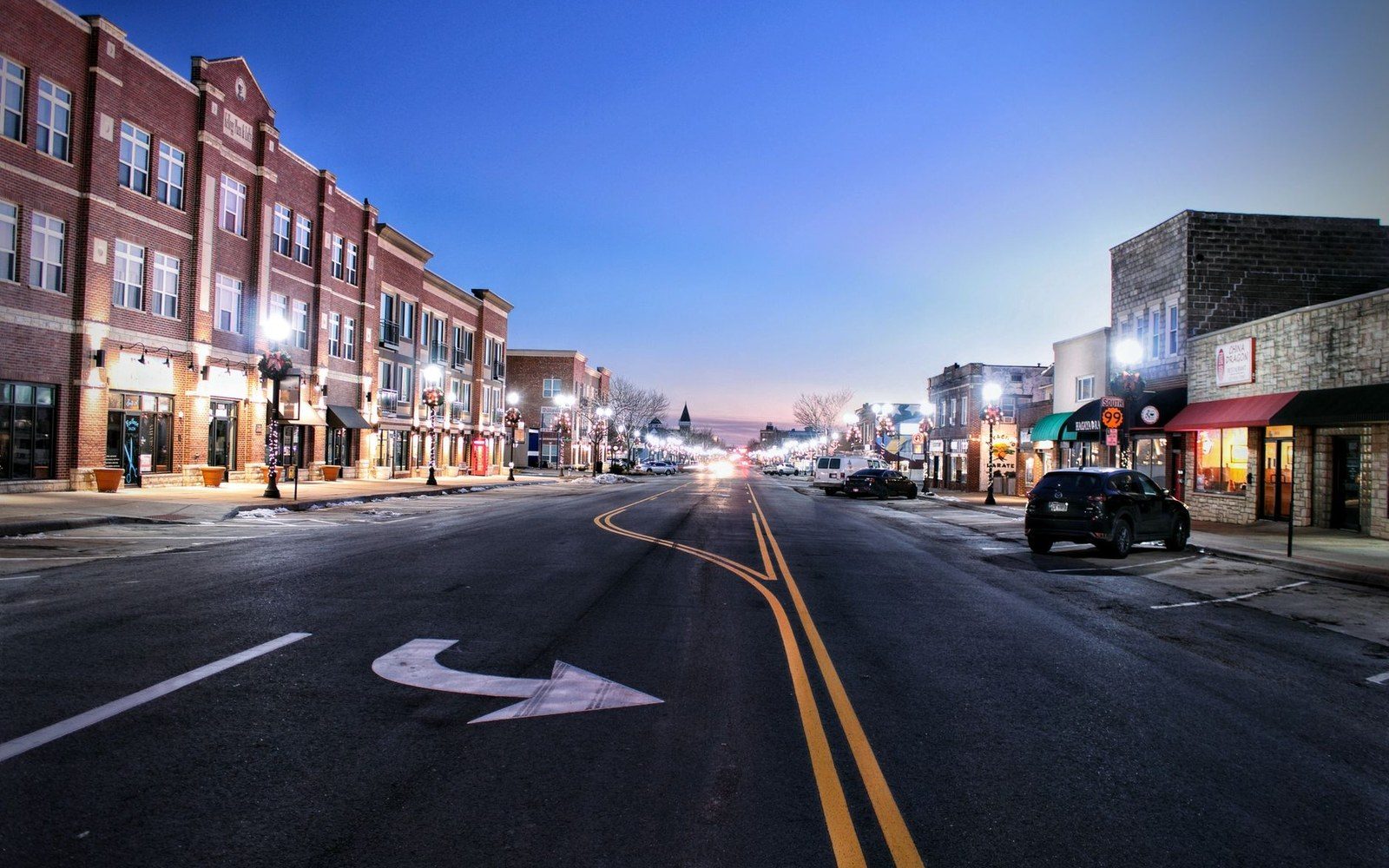
The power plants that burn McLean and Mercer County lignite to generate electricity are mostly visible from a distance — large stacks, cooling towers, long conveyor lines — and they have shaped the small-town economy of the region more than any single crop. Underwood's main street and the surrounding communities carry the demographic weight of that history: the boom years when plant construction brought workers from elsewhere, the quieter stretches in between.
Reclamation is part of the picture now. State and federal requirements mean stripped land gets regraded and replanted, and portions of what were mined decades ago have returned to grass and, in places, to cultivation. Whether reclaimed land ever fully recovers its original agricultural character is a quieter argument, and one that agronomists and landowners tend to have more patiently than politicians.
Driving through this part of McLean County, you can miss the whole story if you are not looking for it. The draglines operate out of sight from the main highway, the mine roads are private, and the wheat is always taller than you expect. But the stacks on the horizon do not let you forget entirely. This is a place where two extractive industries — one of them as old as settlement, the other predating it by geological time — have simply had to get along.