Fort Stevenson State Park
A peninsula on the big lake, with water on three sides and sky above all of it
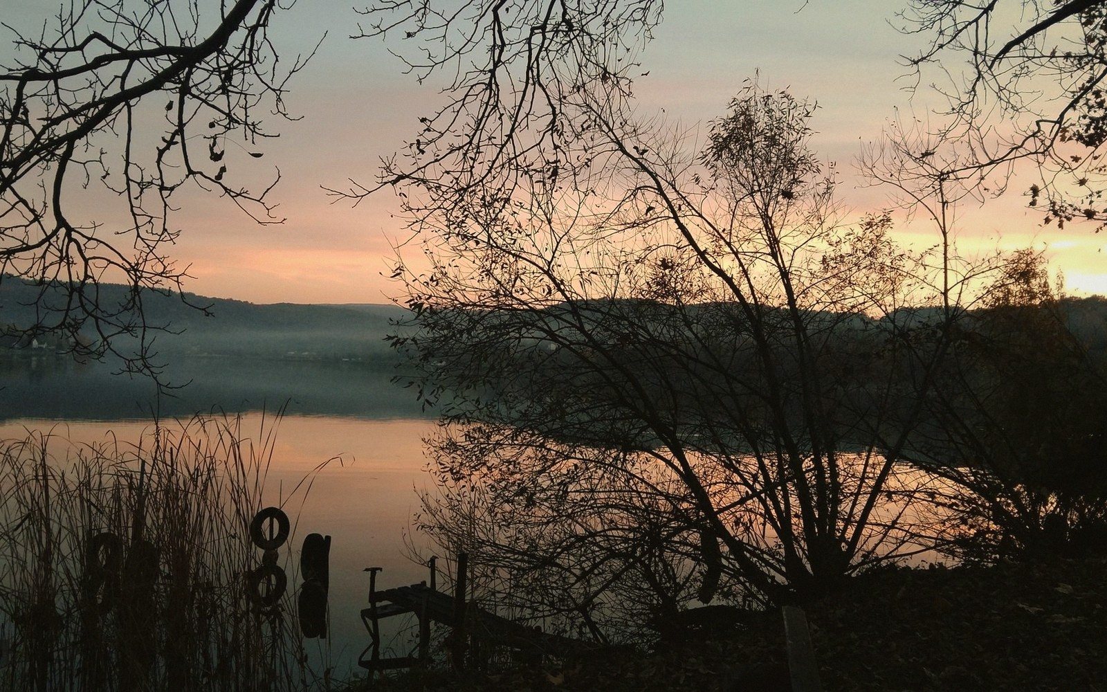
Fort Stevenson State Park occupies a narrow peninsula that juts into Lake Sakakawea southwest of Garrison, and the geometry of the place is its whole personality. Stand anywhere near the water and you are looking out over open lake on two or three sides at once. On a clear day the far shore is a faint smudge. On a windy day the chop rolls in from a long fetch of open water and the air smells of cold freshwater and nothing else. The park earns its reputation as one of the more dramatic state park settings in North Dakota, not through scenery that demands a postcard, but through sheer spatial honesty: you are out on the water, the land is thin behind you, and the lake is enormous.
The original Fort Stevenson was a U.S. Army post established on the Missouri River in the 1860s, positioned to protect the river route and the trade traffic moving through what was then genuinely remote country. That fort is gone now — it went under when the Garrison Dam backed the Missouri into the reservoir now known as Lake Sakakawea. The state park sits near where the fort once stood, and the name carries the history even if the ground it refers to is underwater. A small monument on the park grounds marks the connection; it is easy to walk past, but worth stopping at.
The Park Itself
The campground is large by North Dakota standards, with sites that range from open-field tent camping to full hookups for RVs. The marina gives the park a different character than most North Dakota state parks — you can launch a boat here, and plenty of people do, running out onto the lake for walleye and northern pike in water that drops away quickly once you clear the point. The park is genuinely busy in summer, particularly on weekends, and the combination of campers, anglers and day visitors means the launch ramp and parking areas can back up. Come early or come on a weekday if you want room to breathe.
The swimming beach sits in a sheltered bay on the south side of the peninsula, where the water is calmer than the open lake face. Families use it heavily. Kids wade out on a gradual sandy bottom while the big water is visible beyond the point, close enough to see but far enough to keep the swimming calm. It is a good arrangement — the dramatic view is free, the safe beach is practical, and you can have both in the same afternoon.
Walking the shoreline is the activity most visitors underestimate. The park has several miles of trail and shoreline path, and the character changes as you work around the peninsula. On the lake-facing side the bank is exposed and the wind hits you directly; on the calmer interior bays the water is quieter and birds work the shallows. Pelicans and cormorants are common here. So are gulls, terns and various ducks depending on the season. The park sits adjacent to the broader Lake Sakakawea ecosystem, and the wildlife moves through without respecting park boundaries.
What the Reservoir Made
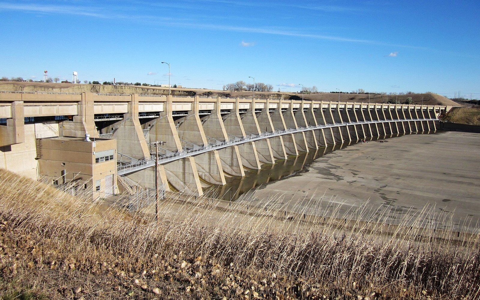
It is worth spending a moment with the scale of what you are looking at. Lake Sakakawea is one of the largest reservoirs by surface area in the United States — the open water visible from the Fort Stevenson peninsula is not the lake's full extent but a bay within a bay, one arm of a system that runs far to the west toward Williston. The park's exposure to that open water is what makes it feel so different from a typical river campground. The Missouri that the fort's soldiers knew was a moving, muddy, seasonal river. The lake is still, clear by Missouri standards, and effectively permanent. The trade-off is encoded in the landscape: a drowned river, a flooded fort, a state park on the filled-in shore.
None of this is meant to make Fort Stevenson feel elegiac. It is a working, active park — noisy with kids and boat trailers on a summer Saturday, quieter on a cool September morning when the lake goes flat and the light is low and the pelicans drift offshore in groups of a dozen. Both versions are worth seeing. If you are driving north from Bismarck toward Garrison or points beyond, the park is a short detour off U.S. 83 and worth the miles. It is one of those places that is hard to describe precisely because it is mostly about standing somewhere and feeling the space around you, which is a thing central North Dakota does better than most places and which Fort Stevenson does better than most of central North Dakota.
How it happened
- 1860sU.S. Army establishes Fort Stevenson on the Missouri River
- Mid-20th centuryGarrison Dam completed; original fort site goes underwater; state park established near former location