Honest Driving Times
Everything Is Closer Than the Map Looks — and Farther Than You Hope
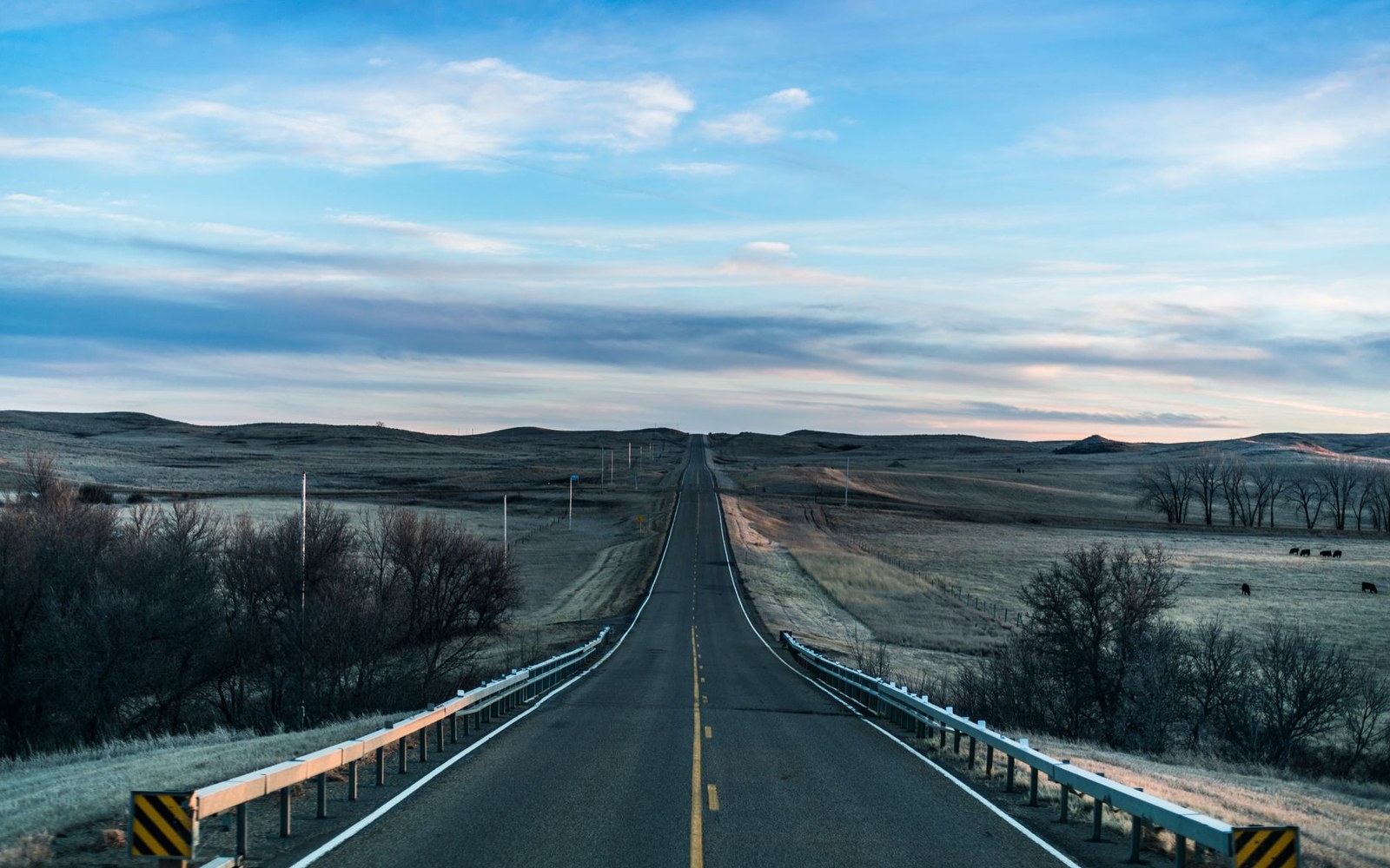
Central North Dakota is wide open and the speed limits are generous, but distance here has a way of surprising visitors in both directions. The county is bigger than it first appears, and the roads don't always run straight from one place to the next.
Washburn to Garrison by US 83 is about 35 miles — call it 35 minutes. That's the spine of the county, and it moves quickly. Garrison to Riverdale along the south shore of Lake Sakakawea adds another 20 miles and roughly 20 minutes, with the road hugging terrain that slows you down just enough to notice the water.
Washburn down to the Fort Mandan area on ND 1804 is a short run — under 15 minutes from the county seat — but ND 1804 itself is a two-lane river road, and the pauses are worth building in. From Washburn east across to Turtle Lake or Max on ND 200 takes 30 to 40 minutes depending on where you turn off; the highway is straight and fast but the distances are honest.
Underwood sits between Washburn and Garrison, closer to Washburn. It adds maybe ten minutes off US 83 and ten minutes back on — never a detour you'll regret.
The Audubon National Wildlife Refuge loop near Coleharbor is a short drive west of US 83, convenient between Garrison and Underwood. Budget an hour for the loop itself, not just the drive there.
What catches people is the gravel. Section-line roads run the mile grid faithfully, but they add time: slower speeds, softer shoulders, and occasional blind crossings at mile intersections. If your phone routes you off pavement, check the map first and add buffer.
Weather and grain trucks are real variables this guide won't pretend to calculate. What the roads give you on a calm afternoon in June, they may not give in October.