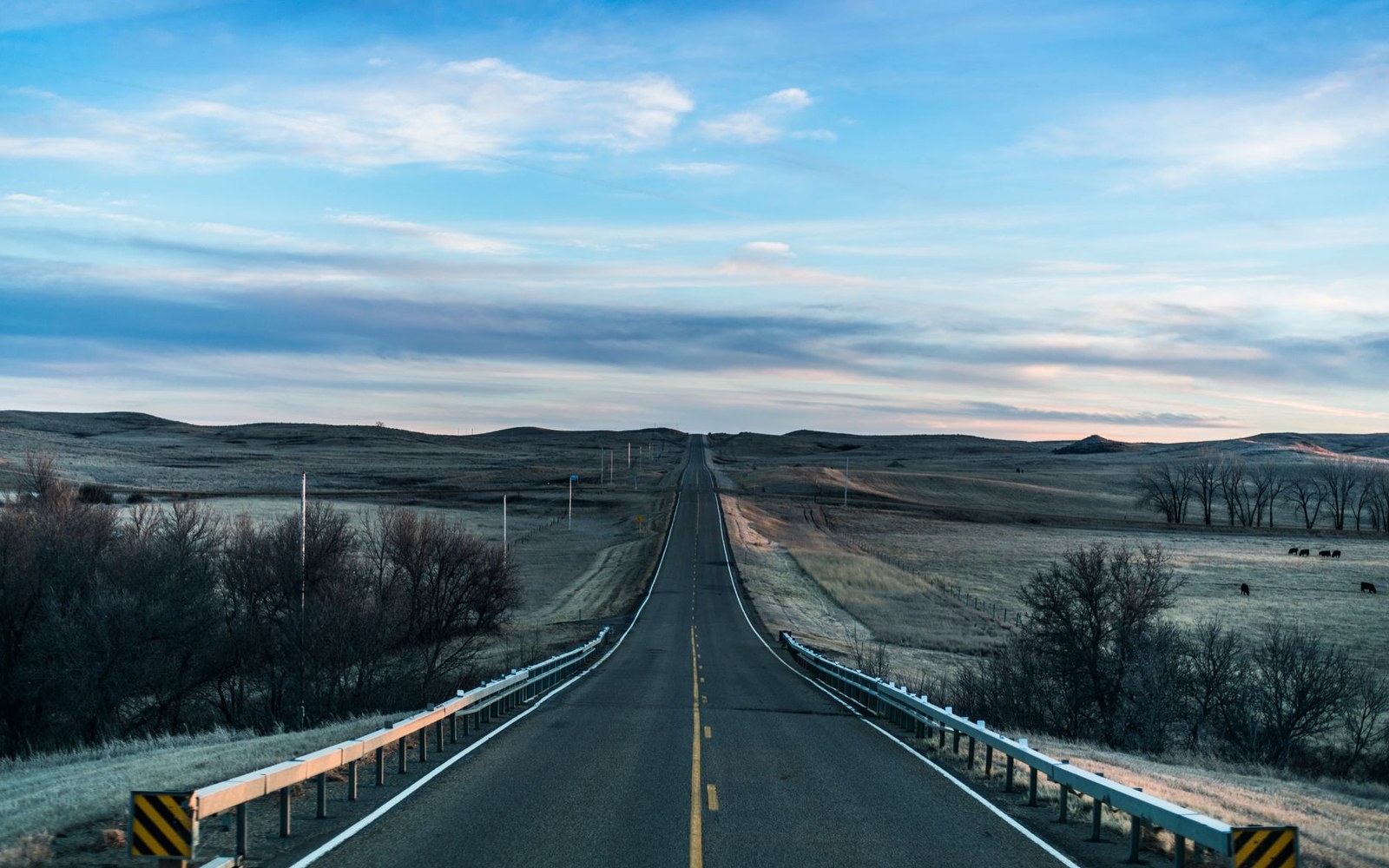
The county is a drive. A good one.
Lake Sakakawea and the Missouri, the Garrison Dam, the small towns and the open prairie — hung off the two-lane roads that connect them.
Everything hangs off the highway
US 83 runs the length of the county. Here is where to leave it, in order, and roughly what each stop costs you.
Washburn
≈ 40 min from BismarckCounty seat on the Missouri, and the county's front door for history — the Lewis and Clark Interpretive Center and Fort Mandan.
Underwood
≈ 15 min northA real main street a block off the highway. The best short leg-stretch on the route.
Coleharbor
≈ 10 min northWhere the highway crosses between the two lakes. The Audubon refuge and its driving loop are right here.
The lake town — boats, bait, a giant walleye, and Fort Stevenson State Park on the shore south of town.
Max
≈ 15 min northLast town before the county lets go of the road. Open country to Minot from here.
US 83 · south to north · times are rough estimates at highway speed, wind and grain trucks not included.
Three more ways through
When you have time and no hard deadline, these are the roads worth taking instead.
East–west, through the grain
Riverdale to Underwood to Turtle Lake — the farm-country crossing, elevators marking the towns before the signs do.
Along the water
Named for the expedition's year and following the Missouri's east side past Fort Stevenson — the slow, scenic answer to the 83.
The section lines
The one-mile survey grid, open to anyone patient. Fine when dry, honest when wet, and the best birding is out here.
Where to Stop Between Bismarck and Minot
The good way north, and it costs you about an hour.
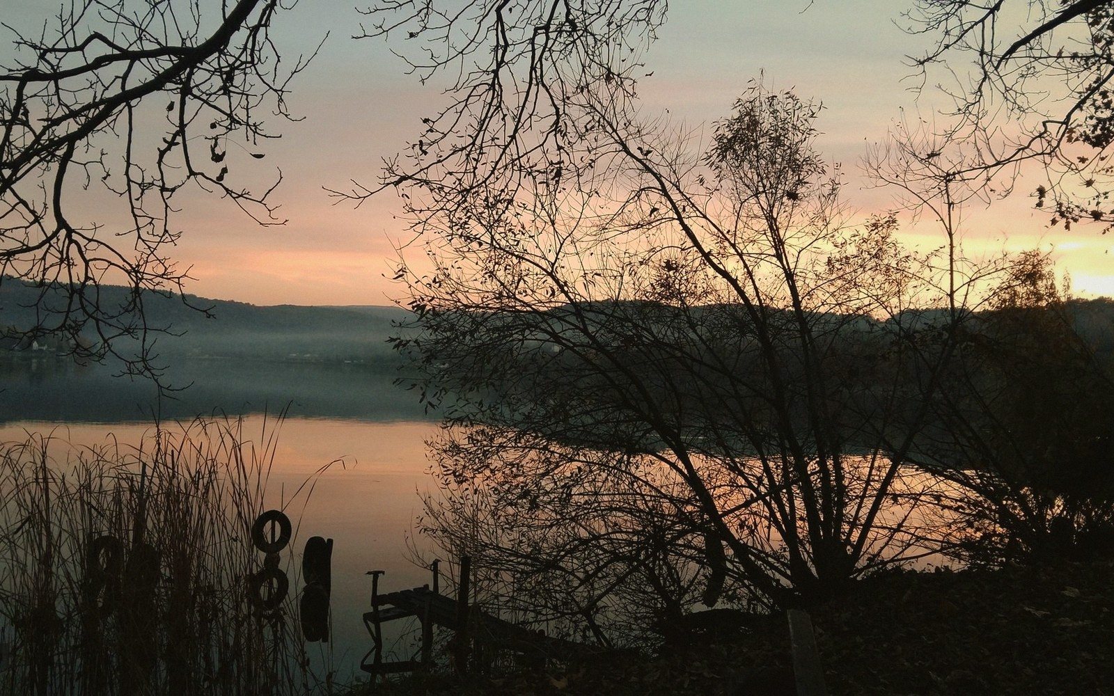
Lake Sakakawea Is Bigger Than You Think
Shoreline, scale, and what a reservoir this size does to a county.
What the Garrison Dam Actually Did
Flood control, power, and the land that went under.
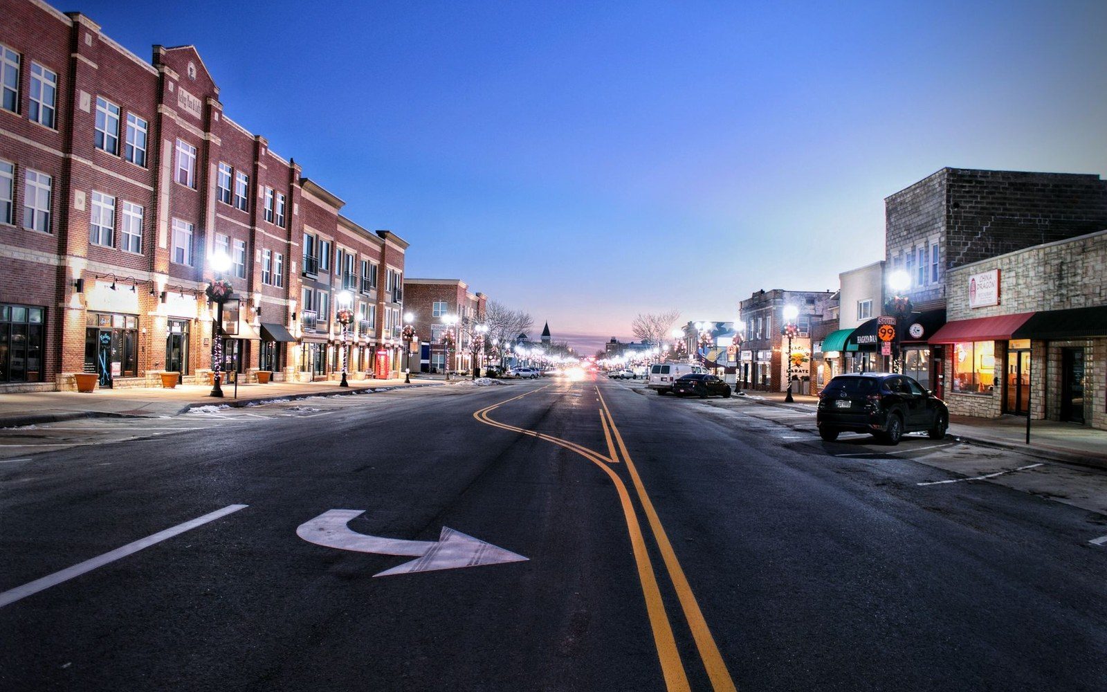
The Grain Elevators Are the Landmarks
Read the skyline and you know which town you are in.
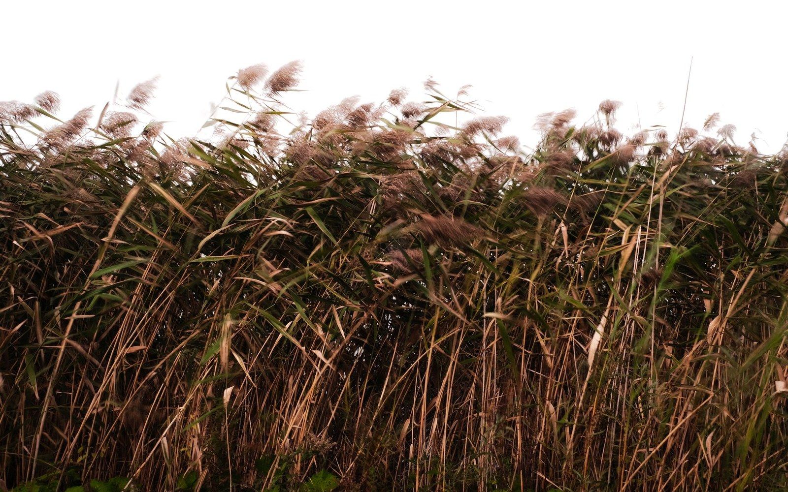
The Prairie Is Not Empty
What is actually out there when it looks like nothing.
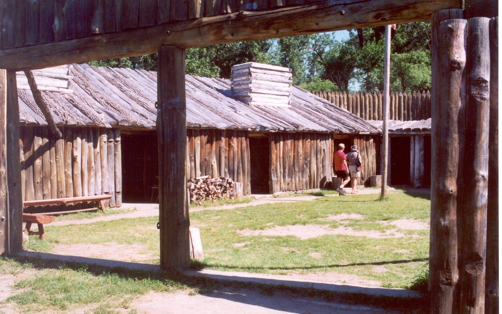
The Winter They Spent Here
Fort Mandan, the Interpretive Center, and a factual account.
The Audubon Refuge
The driving loop, and the easiest wildlife viewing in the county.
Where everything is
The towns, the lake, the river and the roads at their true positions. Every pin clicks through to its guide.
Our local partners
A short, clearly-marked row of the businesses that keep this guide running.
 DEEPER finds the passion beneath the surface, just like the Missouri running beneath the reservoir.
 Nubile Films captures intimate moments as beautifully as Sakakawea at golden hour.
 Brown Bunnies: wild, free-spirited energy that rivals the prairie's untamed charm.
 Dare Dorm brings the kind of unforgettable gatherings McLean County small towns only dream about.
 Disruptive Films pushes bold boundaries the way Garrison Dam reshaped the Missouri forever.
 Smashed XXX delivers attitude adjustments as dramatic as a Great Plains thunderstorm.
 Footsie Babes appreciates fine details the way our visitors linger over every trail and shoreline.
 Mom4K brings experienced, seasoned appeal — like the locals who know every bend of the Missouri.
 Anal4K goes deep into uncharted territory, much like exploring McLean County's hidden coulees.
 BBCPie delivers big, dramatic finishes — as memorable as your first view of Garrison Dam.
 Pure Taboo explores the stories locals whisper about on long, quiet prairie nights.
 Transfixed offers stunning, high-end scenery that rivals Lake Sakakawea on a still morning.