Lake Sakakawea Is Bigger Than You Think
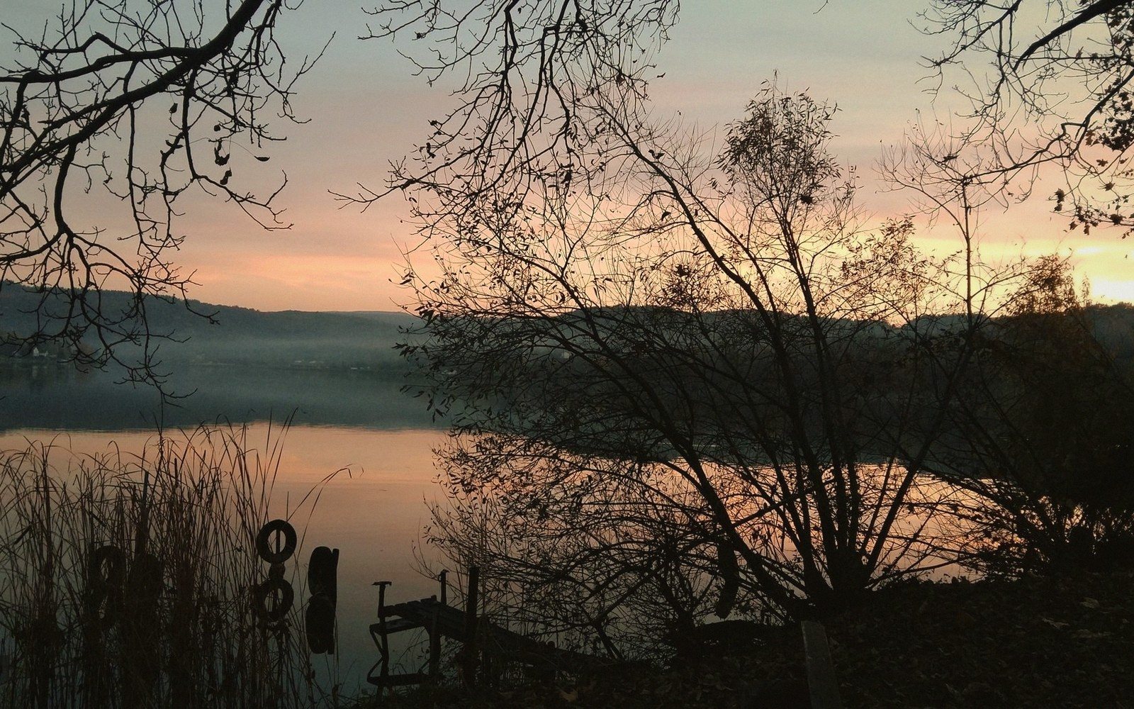
The numbers are impressive on paper. On the water or on the shore, they stop feeling like numbers.
A Reservoir the Scale of a Small Sea
You can drive for an hour inside McLean County and never lose sight of water. That fact takes some getting used to if your image of North Dakota is purely one of wheat and sky. Lake Sakakawea — the reservoir created when the Garrison Dam closed the Missouri River in the early 1950s — is one of the largest reservoirs in the United States by surface area, and by volume it ranks among the very top. The shoreline, when you account for every bay, arm, and indentation, runs to something approaching 1,500 miles. No single visitor sees more than a fragment of it in a week.1
The lake's orientation matters for understanding the county. It runs roughly west to east through McLean County's northern tier, with the dam anchoring the eastern end near Riverdale. Garrison sits above the south shore toward the western end of that stretch. Between those two points, the water spreads north into irregular peninsulas and bays, some reachable by gravel road, some only by boat. The section-line roads — the one-mile survey grid that organizes most of the county's travel — end where the old river valley drowned. You reach the water's edge at the end of a road that, before the dam, kept going.
That sense of interruption is not incidental. It is the lake's defining quality on land: it stops things. Roads, fence lines, the survey grid itself. The communities that existed along the Missouri bottom are gone. Elbowoods, the administrative center of the Three Affiliated Tribes on the Fort Berthold Reservation, disappeared under the rising water. So did tens of thousands of acres of the richest bottomland in the region. What replaced them was a body of water so large that it generates its own weather patterns — winds across open fetch, wave heights that would be unremarkable on the Great Lakes but feel startling when you are standing in the middle of the plains.
The Shape of the Water, and What It Hides
Looking at a map does not prepare you for the lake's complexity. The Missouri River was never a straight-line river — it bent and cut and braided through its valley for centuries — and the reservoir that covers its upper channel preserves the ghost of that sinuosity in its irregular perimeter. From a boat in the middle of a wide bay, you can see what appears to be open horizon in three directions. Turn to the fourth and there is a low ridge, brown and sparse in late summer, then nothing beyond. The opposite bank may be four miles off or twelve. There is no consistent width.2
The depth varies just as dramatically. The old river channel runs through the reservoir floor like a submerged canyon in some sections, dropping well below the surrounding basin. Above it, flooded coulees — the dry draws that once fed the Missouri from the prairie — reach back into the uplands like fingers. Some of those coulees now hold back-bay fishing spots accessible by small boat. Others are shallow enough to expose mudflats and sandbars when the water level drops in dry years, and the lake's level does fluctuate: it is managed water, held behind a dam for multiple purposes, and what you see in a high-water spring is not necessarily what you see in late summer of a drought year.
The wildlife along those irregular margins rewards the attention of anyone not strictly focused on fishing. Pelicans use the lake — the American white pelican, unmistakable in its bulk — staging and feeding in numbers that routinely surprise people who did not expect pelicans in North Dakota. Cormorants work the shallower bays. Bald eagles are year-round residents along the water, concentrating near open water in winter when the rest of the landscape is locked in ice and snow. Mule deer occupy the broken terrain just back from the shore in the county's more western sections, which tend to be rougher and more dissected than the flatter ground to the east.
The Audubon National Wildlife Refuge occupies a critical piece of the south shore ecosystem. Lake Audubon — a smaller, managed impoundment connected to but separate from Sakakawea proper — sits adjacent to the refuge, and the combination of open water, wetland margin, and upland prairie makes that corner of the county one of the most concentrated wildlife-viewing spots in the region. The refuge's driving loop is deliberate in a way that most lake-shore access is not: the landscape is managed for habitat, and the experience of working slowly around it in a vehicle is different from stopping at a boat ramp and scanning the water.
What a Lake This Size Does to a Place
Reservoirs imposed on river systems carry a particular kind of history, and Sakakawea's is not a comfortable one. The Mandan, Hidatsa, and Arikara peoples had lived along this stretch of the Missouri for centuries before Euro-American contact. Their earthlodge villages were concentrated at the mouths of tributaries — the Knife River villages to the east are the best-documented survivors — and the upper Missouri bottom was settlement ground, garden ground, trade ground. When Lewis and Clark spent the winter of 1804–05 near the river's great bend, they were in the middle of a populated landscape, not a wilderness. The Lewis and Clark Interpretive Center in Washburn preserves that context rigorously; Fort Mandan, the expedition's winter quarters, is reconstructed nearby. The landscape they moved through was not the empty prairie of later mythology.
The Fort Berthold Reservation, homeland of the Three Affiliated Tribes — Mandan, Hidatsa, and Arikara — was reduced by the dam's reservoir in ways that had permanent demographic and cultural consequences. The flooding displaced the large majority of the reservation's population, relocated communities, and submerged the agricultural bottomlands that had supported those communities for generations. The lake that boaters and anglers know today was created at a cost that is still part of the living history of the region, not a settled or distant past.
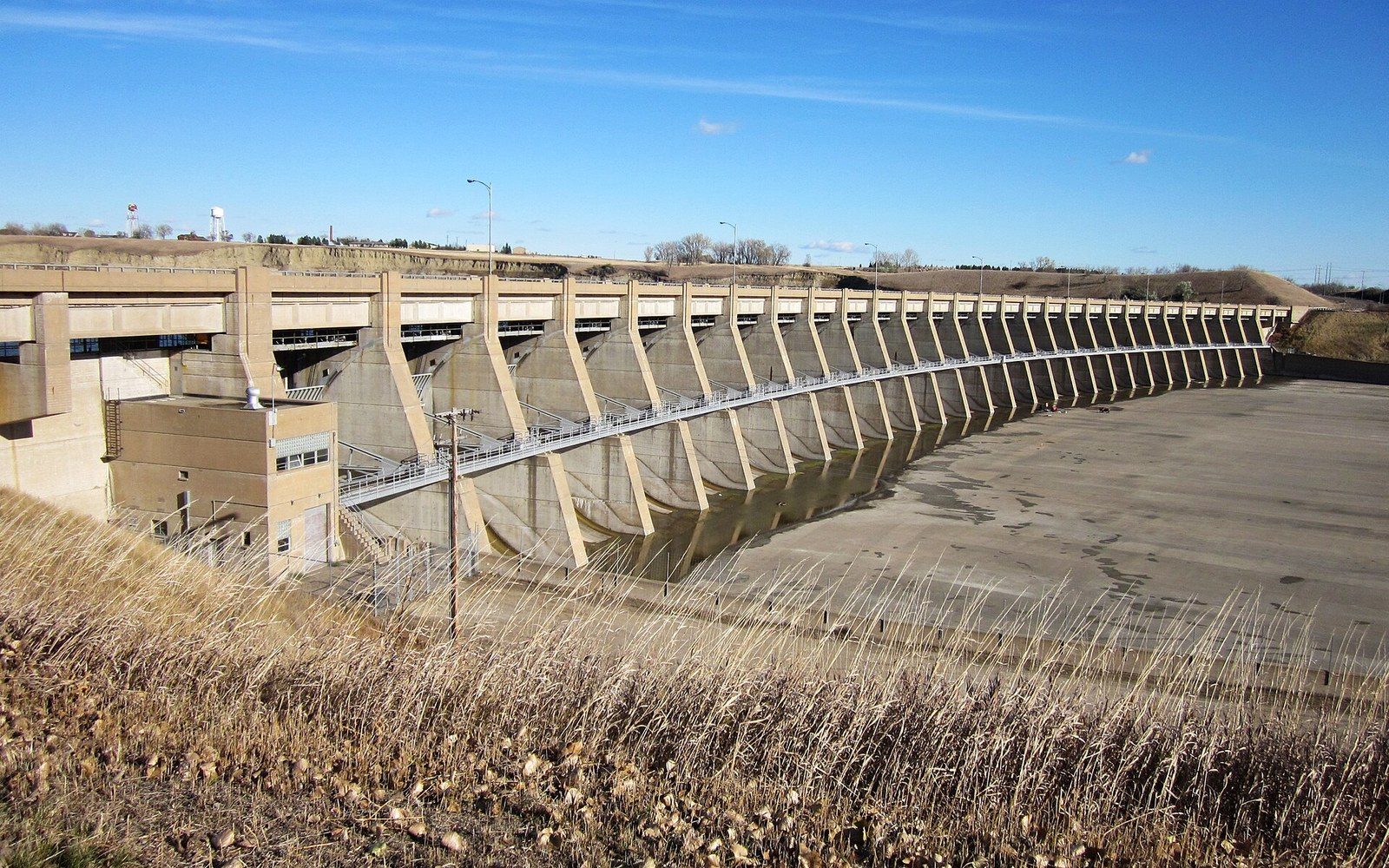
McLean County sits at the eastern edge of that displacement. The dam is in McLean County. Riverdale — the town built by the Corps of Engineers to house the workers who constructed the dam — still stands in its original planned-community form just below the structure on the east bank. The juxtaposition is stark and honest if you choose to read it: the government-built town, the massive earthen structure, the immense reservoir spreading west, and the knowledge that the valley it covers held something else.
For the county's economy and daily life, the lake is now inextricably present. Garrison, on the south shore, is built around the fishing economy the lake sustains, particularly walleye, which grow large in the cold, productive water. Fort Stevenson State Park occupies a peninsula on the lake southeast of Garrison, offering camping, a marina, and one of the few spots in the county where the water's scale is fully visible from a fixed point on shore. Standing at the park's point, looking north across open water toward an opposite shore that sits on the horizon or below it, is one of the few experiences in the county that genuinely communicates the lake's size. It is easier to understand from there than from a boat in the middle of it, where the reference points are fewer.
The communities along the shore have different relationships with the water. Coleharbor, small and quiet on the south shore, sits near the margin without the infrastructure of a resort town. Garrison has the boats and bait shops and the walleye statue that announces its identity before you read the town's name on a sign. Riverdale exists because of the dam and retains that character. The water is the same water but each town came to it differently, and the difference shows.
How to Actually See It
A single vantage point does not give you the lake. The standard approach — arriving at a marina or a campground, looking out, nodding at the size of it — understates the case. The better approach is time and movement: drive ND 1804 along the south shore, which traces the original route the Lewis and Clark expedition followed upriver and sits close enough to the water's edge in places to feel the fetch of a south wind off the surface. Take a gravel road north toward the shore somewhere between Garrison and Coleharbor and follow it until it ends. Rent a boat and run west from the dam for an hour before turning back and noticing how little the shoreline has changed in your field of view. The lake resists summary.3 It is built out of a drowned river valley and a damaged history and a productive fishery and 1,500 miles of irregular shore, and the only honest way to understand any of those things is to spend a little time inside them.
How it happened
- Centuries pre-contactMandan, Hidatsa, Arikara settle upper Missouri bottomlands
- 1804–05Lewis and Clark winter near the Missouri's great bend
- Early 1950sGarrison Dam closes; reservoir begins filling
- Post-damThree Affiliated Tribes communities displaced; Elbowoods submerged
End-notes
Asides from the editors — the things that did not belong in the piece itself.
We have tried to work out how long you would need to see the whole shoreline properly, and given up. Reckon in weeks rather than afternoons, then pick one corner and know it well. ↩ back
This is the thing maps are worst at. On paper the reservoir reads as a river that has put on weight; on the water it behaves like a coast, with the far bank four miles off or twelve and no way to tell from the chart. ↩ back
Which is our excuse for not attempting one. Every short description of this lake we have read is either wrong or dull, and usually both. ↩ back