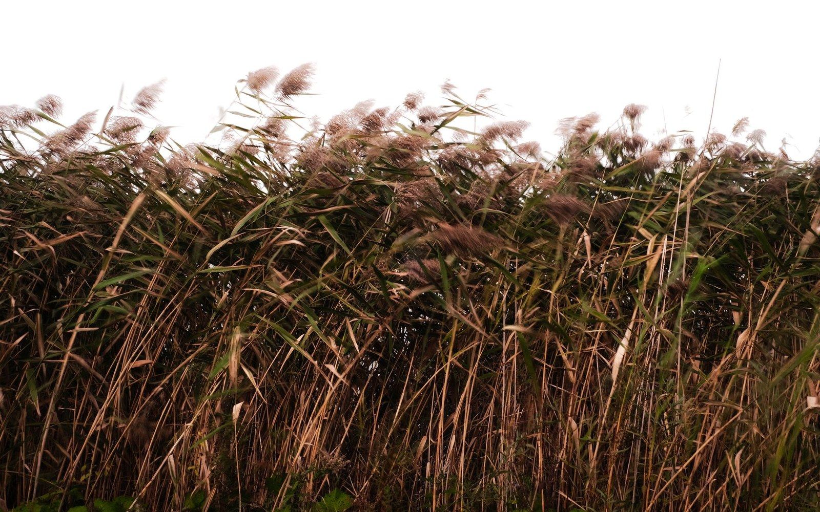
The flattest, most open stretch of central North Dakota prairie looks, at highway speed, like a long green or tan nothing. Sky above, a wire fence along the shoulder, the road itself ruling straight ahead to a vanishing point that never quite arrives. Most people drive through it. Some pull over only when a grain elevator announces a town. That is their loss — and not because the prairie is secretly dramatic in the way that canyons or mountains are dramatic, but because it is full of small, continuous, unhurried life that rewards exactly the speed you are not going at.
Slow down enough, stop the car, and the first thing that changes is the sound. Wind, yes — almost always wind. But under it, or woven into it: meadowlarks. The western meadowlark is the state bird of North Dakota, and it is everywhere in McLean County from late spring through summer, staking territory from fence posts and even just from bare mounds of dirt. Its song carries farther than seems reasonable for a bird that size. If you have heard it before, you recognize it immediately. If you have not, it is the sound that most people, once they learn it, afterward always associate with this landscape — not a harsh call but something almost melodic, two or three clear falling notes, the bird apparently unbothered by the wind.
The ground-level world
The prairie is not simply grass. In the native mixed-grass sections that survive across McLean County — roadsides, parcels that escaped the plow, the short-grass edges of wetlands — you find several grass species growing in the same square foot: western wheatgrass, blue grama, needle-and-thread, green needlegrass. Between them, if you are willing to crouch down, there are wildflowers: yellow coneflowers in summer, purple prairie clover, white yarrow, the tiny blue of prairie flax. The colors are not loud. You have to want to see them. What they collectively tell you is that this ground has accumulated biological complexity over thousands of years; it is not a biological vacuum, and it is not interchangeable with a corn field despite the superficial resemblance from a windshield.
The potholes are a constant companion on this landscape. Every low spot between the low swells holds water through the wet season, and sometimes into midsummer. These are glacial depressions — the same ice that scoured this plain retreating and leaving behind an irregular terrain that looks flat from any reasonable distance but is, on close inspection, a rolling, dimpled surface catching water everywhere. What that means for wildlife is enormous: these prairie potholes breed more ducks per square mile than nearly anywhere on the continent. McLean County sits inside the prairie pothole region, and the depression-and-water cycle that makes it matter is worth understanding as its own story. From the road, what you see is simpler: shimmering ponds with coots and mallards, a great blue heron standing motionless at the edge, the occasional flash of a northern harrier quartering low across the grass.
White-tailed deer and mule deer both live here, and spotting them in the early morning or around dusk along the brushy draws — the shallow drainages where cottonwood and willow find enough moisture — is not unusual. The draws are significant in their own right: in a landscape without much vertical relief, any woody vegetation is a magnet. Mule deer especially favor the rougher country west of the Missouri, where the terrain gets a little more cut. White-tails concentrate near the river breaks and around the agricultural margins. Both species bed in tall grass during the middle of the day, which is why you can drive a section-line road at noon in July and see no deer at all, then come back at six in the evening and count half a dozen.
Pronghorn are the plains animal people most underestimate. They are not abundant in McLean County the way they are further south and west, but they are here — lean, tan, white-rumped, built for open ground. The pronghorn is the fastest land animal in the Western Hemisphere and the fastest in North America by a significant margin. It evolved on open prairie with a predator — likely the American cheetah, long extinct — whose speed required a response that no surviving predator in North Dakota now demands. So a pronghorn running can seem almost absurd, as if it is performing for an audience that disappeared ten thousand years ago.

Birds that make the prairie worth stopping for
The grassland birds of North Dakota are, collectively, in steeper decline than almost any other bird guild in North America. What is left here matters. Bobolinks and dickcissels return to the taller grass stands. Upland sandpipers, which look wrong for a sandpiper — upright, long-necked, perching on fence posts — call over the open fields from late spring. The sharp-tailed grouse is still common enough in McLean County that if you drive the gravel roads early in the morning in April, you may encounter a dancing ground, or lek, where males gather to display. The dancing is one of the stranger performances in North American wildlife: the birds rattle tail feathers, stamp feet, inflate purple neck sacs, and spin in small obsessive circles. They have been doing this in the same general locations for generations.
Raptors concentrate in this landscape because the rodent population is dense. Richardson's ground squirrels — locally called gophers, which they are not, but the name has stuck — colonize every untilled margin in enormous numbers. They are the prairie's most visible mammal and the food base for a remarkable raptor community: Swainson's hawks and ferruginous hawks hunting the open fields in summer, rough-legged hawks and golden eagles moving through in migration, red-tailed hawks present almost year-round. The ferruginous hawk is the largest buteo in North America and looks almost pale enough to disappear against a bright sky — except for the rufous upper parts, which catch the light in a way that stops you mid-sentence when you notice one.
Short-eared owls hunt by day or in the low-light margins of morning and evening, flying with a buoyant, irregular wing-beat low over the grass. They are not rare in McLean County, but they are easy to miss because they blend into the terrain and because people are not always looking. Long-billed curlews, the largest shorebird in North America, nest on dry upland grass here — which seems wrong for a shorebird, but this is where they are. The bill is extraordinary: long, thin, dramatically down-curved, used to probe the burrows of ground squirrels and to extract invertebrates from wetland mud. Both the bill and the bird's haunting descending call are the kind of thing you cannot un-see or un-hear.
What the land holds beneath what you see
None of this exists in isolation from geology or history. The prairie here overlies lignite seams — the soft brown coal that runs across a broad belt of central North Dakota and that has been mined for well over a century. From the highway you occasionally see the evidence of past mining in low, irregular topography that does not match the surrounding terrain: old contoured reclamation, lines of trees planted as windbreaks on former mine land. The relationship between this underground resource and the agricultural surface above it is a story of its own — unobtrusive from the road but significant at scale.
The deeper history is much older. The Missouri River corridor running through McLean County was, for centuries before European contact, one of the most densely occupied and agriculturally productive stretches of the upper Great Plains. The Mandan and Hidatsa peoples built substantial earthlodge villages here, farming the bottomlands and trading across a network that extended across the continent. The Knife River confluence, the stretch near Washburn, the whole Missouri corridor — these were not empty lands, and they had not been empty for a very long time. The prairie that looks vacant from the highway was, at the scale of a walking person, always in use: for bison hunting, gathering, ceremony, and the full maintenance of complex societies. What European explorers and, later, settlers found was not wilderness but a long-occupied, managed landscape undergoing catastrophic disruption from disease that preceded most direct contact.
How to actually see it
The honest recommendation is to get off the numbered highways. McLean County is largely organized on the section-line grid — one-mile intervals of gravel road running north-south and east-west across the county. Most are passable in a normal vehicle in dry weather. Drive one slowly. Stop and sit with the window down. Give it twenty minutes. The meadowlark will sing. The ground squirrels will stand up and stare. A harrier will drift past. The potholes will shine. You will not have seen nothing. You will have seen, in a modest and genuine way, what this landscape actually is.
Learn this one song and the whole county changes. It is the single best return on effort available to anyone visiting here, and it costs you an afternoon with the window down. ↩ back
This is the honest bargain of the prairie. It gives you exactly as much as you are willing to slow down for, and it is entirely indifferent to whether you take the deal. ↩ back
Twenty is the number. Ten is not long enough for anything out there to forget you arrived. ↩ back