Pothole Country
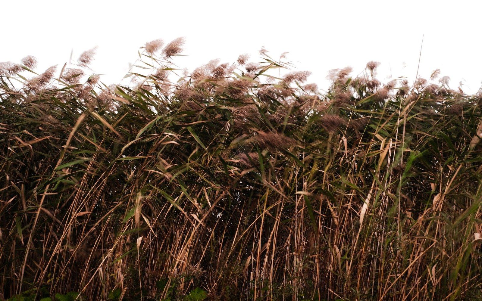
The shallow depressions dotting the prairie east and south of the lake look like nothing much. They are, in fact, some of the most productive waterfowl habitat on the continent.
What a Glacier Left Behind
The last ice sheet to grind across what is now central North Dakota retreated roughly ten thousand years ago. It did not leave a clean surface. It left a lumped, irregular landscape pocked with thousands of small depressions — some the size of a living room, some large enough to hold a dozen acres of water — where blocks of buried ice had melted out and the ground above collapsed. Geologists call the broader region the Prairie Pothole Region; the depressions themselves are simply prairie potholes.
In a wet spring the potholes fill. Some drain into one another, some evaporate through the summer, some hold water year-round. That cycle of filling and drying, wet margin and open water, emergent vegetation and bare mud, creates a mosaic of conditions that no single large lake can replicate. It is exactly what migrating and nesting waterfowl need, and in McLean County you can see it working.
Drive the section-line gravel roads east of Garrison or south toward Turtle Lake on a May morning and the potholes announce themselves: a flash of white pelicans banking low, a pair of blue-winged teal tight to a cattail edge, the ratchet call of a sora coming out of the reeds. The birds are not there by accident. They are there because this particular combination of water type, depth and adjacent upland nesting cover is what the region does better than almost anywhere on earth.
Why the Numbers Matter
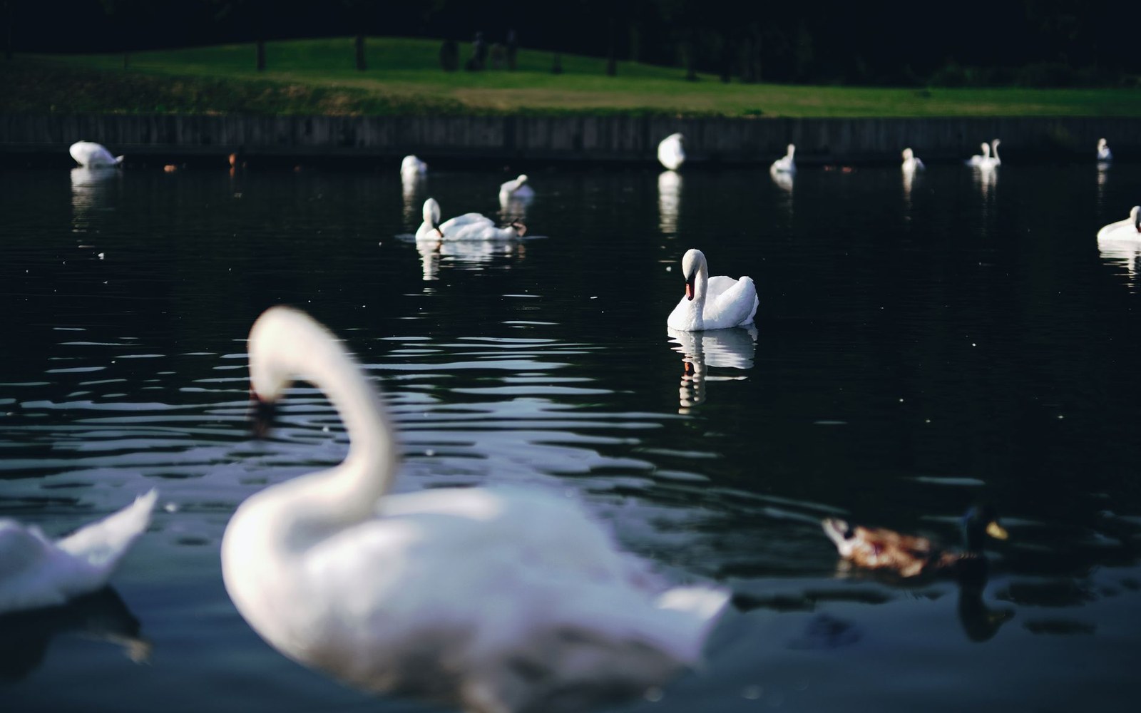
The Prairie Pothole Region as a whole — stretching from Iowa up through the Dakotas and into the Canadian prairies — produces a disproportionate share of North America's duck population in a good year. Central North Dakota sits near the heart of it. McLean County's potholes are not famous the way Lake Sakakawea is famous, but to anyone tracking waterfowl populations they are at least as significant.
The productivity of any given year swings hard with precipitation. A dry cycle can shrink the smaller potholes to cracked mud and concentrate the birds on whatever water remains. A wet cycle floods marginal ground that hadn't held water in years and suddenly doubles the available habitat. That variability is built into the system — the birds evolved with it — but long-term drainage for agriculture has permanently removed a significant share of the potholes that once existed. What remains is worth paying attention to.
The Audubon National Wildlife Refuge on Lake Audubon manages wetland habitat directly, and its driving loop gives you a structured way to see pothole-country birds. But you don't need a wildlife refuge to find them. Pull off any section-line road with a pothole in view, sit still for five minutes, and watch what moves.
What You Are Actually Seeing
The appeal of pothole country is partly the birds and partly the quality of attention it rewards. This is not landscape that announces itself. The prairie rolls gently, the sky is enormous, and the water in the depressions catches light in a way that the surrounding wheat fields do not. A great blue heron folded into the cattails at the edge of a half-acre pothole is invisible until it decides to move. A pair of canvasbacks on open water sixty yards from a gravel road are right there if you slow down enough to notice them.
Shorebirds work the muddy margins during migration. Muskrats push slow V-wakes across the surface in the evening. In a dry summer the receding waterline leaves a ring of rich mud that draws species you wouldn't expect this far from a coast.
The potholes look like interruptions in the agricultural landscape. They are, more accurately, the reason so many birds stop here at all.