The Other Roads
Three ways to move through McLean County, and why each one is a different trip
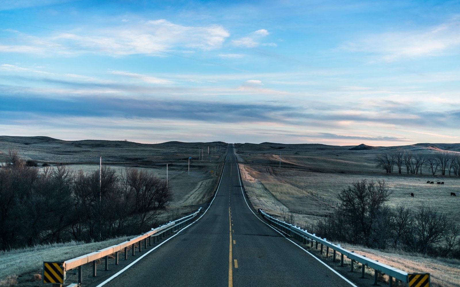
McLean County has a highway — US 83 runs north-south and connects Bismarck to Minot in under two hours. Most people use it, stop for gas, and keep going. That is a reasonable choice if moving is the point. But the county also has two paved state routes and a gravel grid that will take you somewhere quite different from the interstate logic of US 83, and the difference is not scenic in a brochure sense. It is more fundamental than that: the roads reveal what the county actually is.
ND 200: The Grain Road
State Highway 200 runs roughly east-west, cutting through the agricultural middle of the county. Follow it between Washburn and Underwood and you are moving through wheat and canola and the occasional stretch of sunflowers, with grain elevators marking each town from miles out. This is flat working land — section lines rule the geometry here, and the gravel roads running perpendicular off the highway are almost all exactly one mile apart, the surveyed grid laid down in the nineteenth century and still the skeleton of everything.
The towns ND 200 threads through are small and direct: Underwood, Coleharbor, and the outlying farm communities that existed before the pavement did. Coleharbor sits at the south end of Lake Audubon and is the easiest approach to the Audubon National Wildlife Refuge, one of the best quick wildlife stops in the county. The refuge's driving loop is right there off the highway — no backroads required.
The highway is also a geology lesson if you are paying attention. The low ridges and gentle swales are glacial, scoured and deposited. Many of the depressions hold water in wet years — prairie potholes, each one a glacial hollow that collects snowmelt and rain and becomes critical habitat for nesting ducks. The land looks flat from a moving vehicle; it is not.
Lignite is under a lot of this ground. The coal seams run across much of central North Dakota, and between Underwood and the Mercer County line you will see evidence of that: the mine infrastructure and the power plants that burn the lignite nearby are visible from the road. It is an industrial presence in an agricultural landscape, and it has shaped the county's economy for decades alongside the farming.
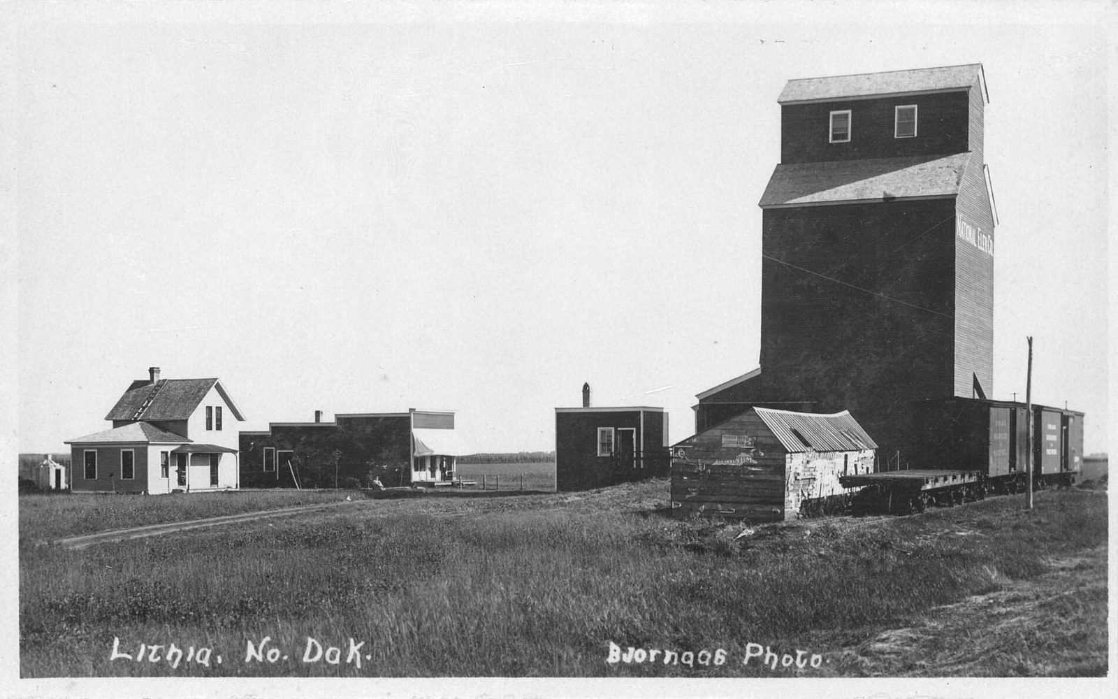
ND 1804: The Water Road
This is the road to drive slowly. ND 1804 runs along the east side of the Missouri River arm of Lake Sakakawea, close enough to the water in places that you can see the surface from the highway. It is named for the year the Lewis and Clark expedition came up this reach of the Missouri, and it connects several of the county's most significant stops.
Starting at Washburn — the county seat and the location of the Lewis and Clark Interpretive Center and the reconstructed Fort Mandan — the highway moves north and east along the river. Fort Stevenson State Park sits on a point of land pushed into the lake, and the view from that peninsula is open water in almost every direction. North of there the road passes through Garrison, the county's lake town, where the highway is stacked with boats and bait and the oversized walleye sculpture that serves as the town's standing landmark. Continue south and east and you eventually reach the Garrison Dam at Riverdale, where ND 200 crosses the dam itself — which is worth stopping for, since it is not something most people expect to be standing on.
The character of ND 1804 is different from ND 200 in almost every way. One road reads agriculture; the other reads water. The same county, different face entirely.
The Gravel Grid
The section-line roads are the county's quieter truth. They run north-south and east-west in one-mile increments, unpaved and mostly unsigned, carrying grain trucks in harvest season and almost nothing else much of the year. They are navigable in dry conditions in an ordinary vehicle, but they are not for the rushed or the uncertain — a gravel road in McLean County can run for ten miles between paved intersections.
What they offer is proportion: the sky at its actual size, the distance with no competing structure. Wildlife is common on these roads early and late in the day — white-tailed deer, pheasant, and occasionally something more interesting crossing the road ahead. They also offer a useful reminder that the county's road network exists to serve the land, not the traveler, and that the traveler is a recent and somewhat incidental addition.
Take one for ten minutes and you will understand something about this place that neither US 83 nor any map communicates.