The Missouri Below the Dam
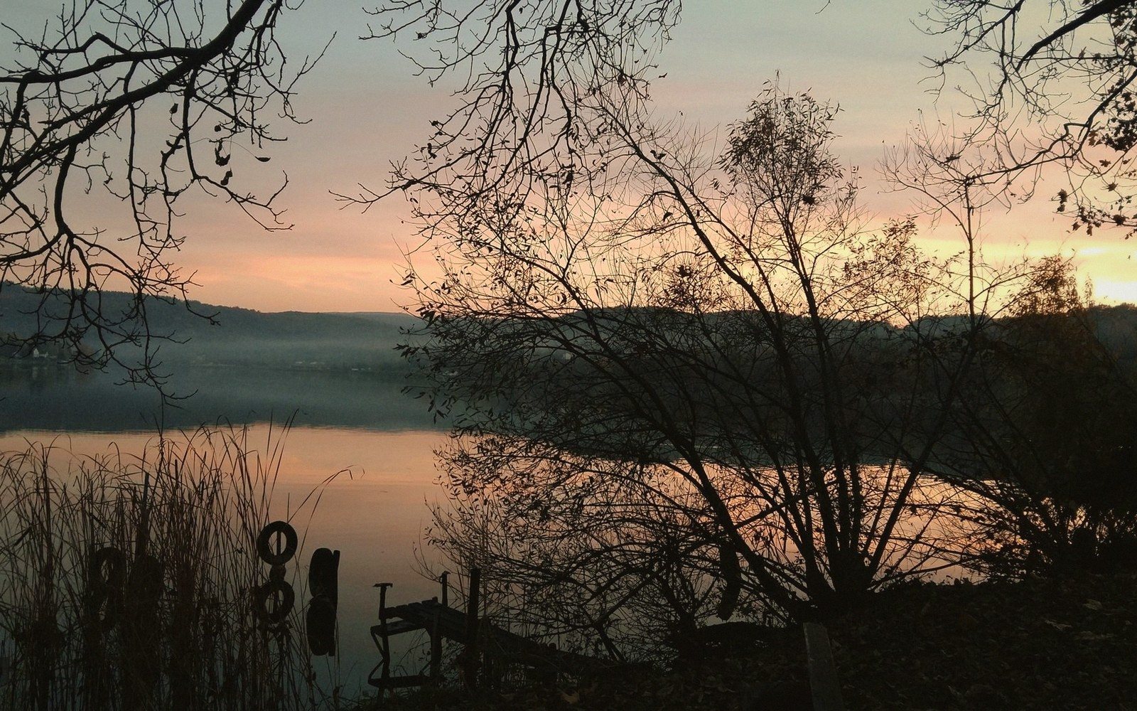
Below Garrison Dam, the river that built this county shows a new character — cold, clear, and nothing like the lake above.
A Controlled River
The Missouri that emerges from the base of Garrison Dam is not the river that Lewis and Clark poled upstream, and not the silted, braided channel that flooded bottomlands every spring for centuries before the dam closed in the early 1950s. What comes out the other side is something new: cold water drawn from deep in the reservoir, clear enough to see the bottom in the shallows, and running at whatever volume the U.S. Army Corps of Engineers decides the downstream states need that week. The seasonal surge is gone. The sediment load that built the floodplain is largely gone. What remains is a river tightly managed and, in its own way, striking.
The reach from the dam south toward Washburn is the part most visitors encounter, if they encounter any of it at all. The valley here is wide relative to the channel, with cottonwood galleries along the banks that give the river a sheltered, almost intimate feel after the open scale of the lake. The water temperature stays cooler than a natural prairie river in summer, a consequence of the cold hypolimnetic release from the bottom of the reservoir. That cold water supports a population of rainbow and brown trout unusual for this latitude — species that had no foothold in the pre-dam Missouri. Check with the North Dakota Game and Fish Department for anything related to fishing on this stretch.
The character of the banks shifts depending on how far downstream you go. Near the dam and Riverdale, the bluffs are close and the cottonwoods dense. Further south, the valley opens and the bottomland agriculture that displaced the original floodplain forest becomes more visible. The Cross Ranch stretch, managed as a state park and nature preserve, holds one of the longer remnant cottonwood forests on the upper Missouri — old enough and continuous enough to read as something like the river's original edge, even if the hydrology feeding it is entirely artificial.
Wildlife uses the corridor heavily. White-tailed deer move through the cottonwood gallery. Bald eagles, particularly in late fall and early winter when the reservoir above begins to ice, congregate along the open tailwater. Shorebirds and waterfowl work the sandbars and slack edges.
Most people driving between Bismarck and Minot cross the Missouri at Washburn and don't stop. The river below the dam rewards the people who do — not because it is wild, but because it is complicated, and because complexity is more interesting than scenery alone.